DOQQ
http://www.nd.edu/~underc/east/maps/
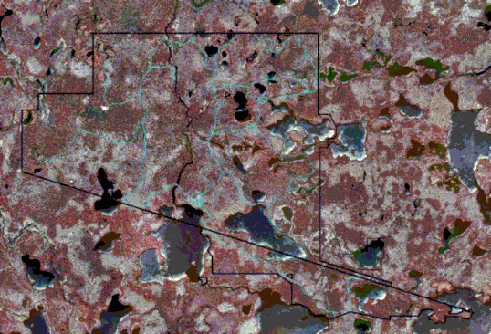
A DOQQ, a Digital Orthophoto Quarter Quads, uses infrared GIS technology in order to get a basic image of a certain area or region. This DOQQ aerial photo is used by the Environmental Research Center in order to keep an accurate idea of what sort of impact certain things have on this area; especially any of the habitats (grasslands, montane forest, and streams) that are in this region. The image above is a false color infrared imagery which helps delineate surface features.
No comments:
Post a Comment